What Is an Aquifer? Groundwater in Plain English
What is an aquifer?
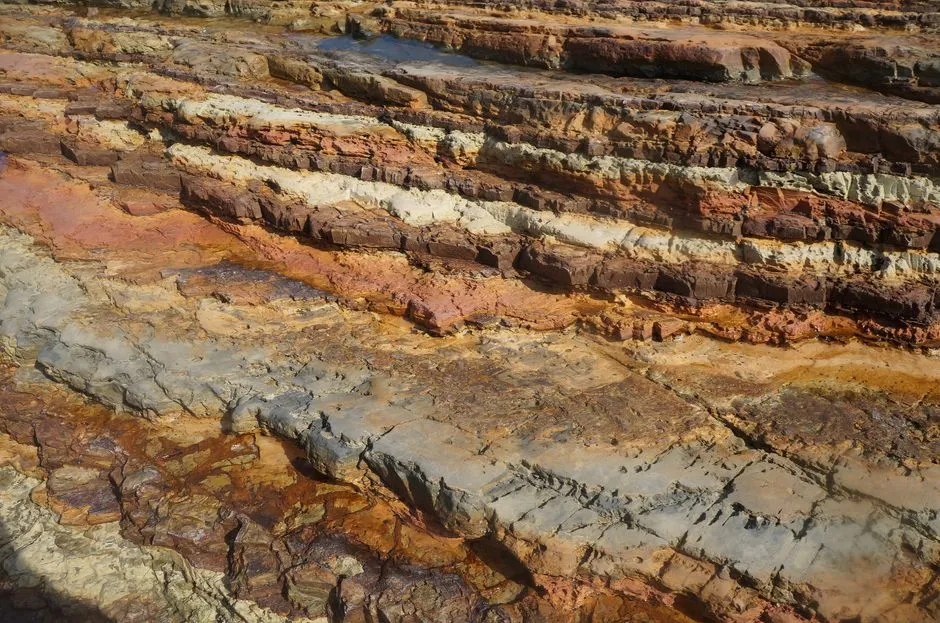
An aquifer is a permeable layer of rock, sand, or gravel that stores and transmits enough groundwater to supply wells or springs. The water usually occupies connected pores and fractures rather than a large open underground lake. Recharge adds water, wells remove it, and the balance changes with weather, geology, land use, and pumping.
That definition is a starting model, not a description of any particular property. A site-specific question belongs with a qualified well professional or hydrogeologist and the relevant local authority.
Groundwater sits inside material
The U.S. Geological Survey (USGS) describes groundwater as water below Earth's surface. When permeable rock, sand, or gravel stores and transmits enough groundwater to provide usable quantities to wells, that layer is called an aquifer.
Think of connected spaces between grains and fractures in rock. Porosity concerns the available spaces; permeability concerns how readily water can move through connected spaces. A material can hold water without transmitting it fast enough to make a productive aquifer.
The water table is not the aquifer
The terms are related but not interchangeable. In an unconfined aquifer, the water table represents the groundwater pressure surface commonly pictured near the top of the saturated zone. It can rise after recharge and fall during dry periods or pumping.
An aquifer is the water-bearing geologic material. A water table is a surface within the groundwater system. A well is an engineered opening that accesses that system. Keeping those three ideas separate prevents a common diagram from becoming three incorrect definitions.
Recharge adds water to the system
Rain and snowmelt can seep through soil and deeper layers to recharge an aquifer. Streams and groundwater can also exchange water, depending on local conditions. Recharge is not equally fast everywhere. Paving, soil, vegetation, fractures, confining layers, climate, and topography all affect the route.
This is why a rainstorm does not translate into a predictable rise in every well. The path from the surface to a particular aquifer may be short, long, interrupted, or redirected.
Pumping changes water levels
USGS explains that withdrawing water creates a lowered area around a pumping well, commonly called a cone of depression. If withdrawal exceeds replenishment, the water table can fall and a well may yield less water or go dry. The effect can be small or large and short-lived or persistent, depending on aquifer conditions.
Nearby wells can interact when they draw from connected groundwater. Determining whether one well affected another requires measurements and local analysis, not just distance on a map.
Confined and unconfined aquifers behave differently
USGS defines a confined aquifer as one lying beneath low-permeability material and under pressure. Water may rise in a well above the top of that aquifer. An unconfined, or water-table, aquifer has an upper water surface at atmospheric pressure and can rise and fall more directly.
These labels describe hydraulic conditions. They do not, by themselves, establish water quality, drinking safety, well yield, or legal access. Those are separate questions requiring the correct evidence.
An aquifer name does not answer a water-quality question
Water can dissolve or carry naturally occurring minerals and contaminants introduced by human activity. Appearance, taste, and aquifer type cannot establish that private-well water is safe.
For household decisions, use a certified laboratory and local guidance. Our guide to how often to test private well water explains the current U.S. annual baseline and event-driven testing. The Private-Well Literacy section keeps laboratory results separate from underground-system diagrams.
Sources
- USGS, What Is Groundwater? — accessed September 3, 2026; supports the groundwater and aquifer definitions, recharge, and the pore-and-fracture model.
- USGS, Aquifers and Groundwater — accessed September 3, 2026; supports permeability, wells, recharge, pumping, and water-level effects.
- USGS, Confined and Unconfined Aquifers — accessed September 3, 2026; supports the two hydraulic-condition definitions.